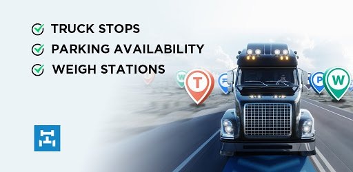
Trucker Path: Truck GPS Truck Stops Weigh Stations v5.0.4 | 131 MB | Language: English
Trucker Path is the #1 truck navigation (Truck GPS) trusted by millions of CDL truck drivers. We focus on building maps for Truck Drivers, providing best-in-class trucker tools for truck navigation(Truck GPS), and finding truck stops, truck parking, weigh stations, CAT scales. We have Pilot Flying J, Love’s Travel Center, Petro TA, Blue Beacon, Roady’s, KwikTrip, Weigh Stations, CAT Scales, Diesel Fuel Prices, Rest Area, Truck Parking, Truck GPS, Truck Navigation, all in our Truck Maps.
Access 40,000+ trucking places:
• Truck Maps with Truckstops and Truck Parking spots: Pilot Flying J, Loves, TA Truck, Travel Plazas, AM Best, CAT scale, free parking
• Truck Maps containing thousands of independent truck stops, Rest Areas, Walmart,
• Weather and live road traffic conditions
Trucking GPS navigation:
• Plan multi-day trips with our Trucking GPS(or RV GPS) free to download
• This Trucking GPS is better and faster compared to traditional Garmin GPS or Rand McNally GPS
Live info: parking, cat scale, traffic, weather, RV GPS
• See which weigh stations are OPEN or CLOSED
• Trucker map with real-time updates like CB radio
• Truck Parking is updated as FULL, SOME, EMPTY by thousands of truckers every hour
Requirements: Android v5.0+
https://play.google.com/store/apps/details?id=com.sixdays.truckerpath&hl=en


